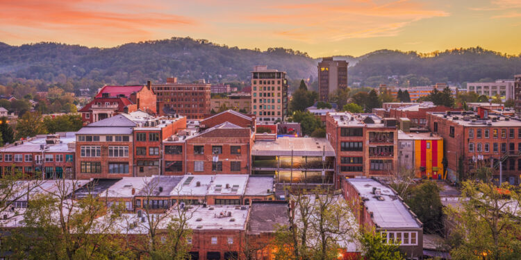
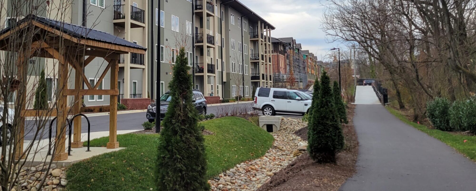
Happening Now

Route recommendations (see below section) were presented at a Public Open-House on April 11th at the Montford North Star Academy.

The study consultants are now drafting a report summarizing study findings, feedback and engagement, route recommendations, cost estimates and potential funding sources. It is estimated the report will be finalized in July, 2024. This report will be made available to the public and presented to the Planning & Economic Development (PED) Commission in August, 2024.

Residents view recommendations for the Reed Creek Greenway extension with the project team at the April 11th Open House.

Project Overview

An existing portion of the Reed Creek Greenway spans about 0.86 miles from the intersection of Broadway St and WT Weaver Blvd to Elizabeth St. The Reed Creek Greenway is one of the oldest greenway’s, and previous City Plans such as the Close the GAP Plan have identified extending the greenway as a high priority for the City’s greenway network. The City of Asheville received grant funding from the French Broad River Metropolitan Organization (FBRMPO) to conduct a feasibility study for extending the greenway. 

There are two undeveloped sections:  The northern section from the intersection of WT Weaver Blvd and Broadway St to the intersection of Broadway St and Riverside Dr.; and the southern section starting at Elizabeth St. and terminating at the Bacoate Branch Greenway trailhead near the intersection of Clingman Ave and Hilliard (Merritt St).

The feasibility study has the following objectives: 

  • Investigate the alternative alignments that can complete the Reed Creek Greenway
  • Select the preferred alignments to advance for capital project development
  • Engage with property owners and stakeholders including City of Asheville departments; the Montford Neighborhood Association; the NCDOT; UNC-Asheville, the Asheville Botanical Garden Board; Isaac Dickson School; and private property owners
  • Procure cost estimates to begin capital project planning.

The completion of the Reed Creek Greenway Corridor is an important part of the larger greenway network. It will strengthen transportation connectivity from downtown to North Asheville, UNCA, and the River Arts District. 


Recommended Routes

The recommended route alignments for the northern and southern extensions of the Reed Creek Greenway, are described in detail and shown on the maps below. These recommendations were informed by the project steering committee, various stakeholder meetings, and public input.

NORTHERN CORRIDOR

The recommended route for the northern corridor begins at the existing Reed Creek Greenway at the on the south side of the Broadway St / WT Weaver Blvd signalized intersection. A sidepath will climb the existing embankment on the south side of Broadway St away from the road, providing both horizontal and vertical separation from vehicular traffic. The sidepath will then descend down the embankment, cross Zillicoa St at a signalized intersection, and transition to a sidepath with a planting strip until reaching the I-26 Exit 25 off-ramp. From the off-ramp, the greenway will continue as a sidepath with a planting strip and pass beneath the I-26 bridges before terminating at the existing signalized crosswalk on the southern leg of the Riverside Dr / Broadway St intersection. It is assumed that the portion of the greenway between Riverside Dr and the I-26 Exit 25 off-ramp will be constructed as part of a larger NCDOT STIP project for I-26 and is not included in the cost estimates in this study.

SOUTHERN CORRIDOR

The recommended route for the southern corridor begins at the southern terminus of the existing Reed Creek Greenway at Elizabeth St. The greenway will transition to the neighborhood greenway typology (shared street for cyclists and utilizing existing sidewalks for pedestrians, with potential for traffic calming and additional signage for wayfinding) and travel west on Elizabeth St for several blocks, turn south on Cumberland Ave for one block, and turn west along Bearden Ave before reaching Montford Ave. The greenway will then cross Montford Ave, transition to a sidepath for pedestrians and cyclists, and continue south along the west side of Montford Ave to southern property line of the Montford North Star Academy.

From here, there are two alternatives recommended for further evaluation to make the connection from Montford Ave to a proposed replacement pedestrian bridge over I-240 (currently under design through NCDOT) to Clingman Ave. It is assumed that the replacement pedestrian bridge between Hill St and Clingman Ave will be constructed as part of a larger NCDOT STIP project for I-240 and is not included in the cost estimates in this study.

For Alternative 1, the greenway will transition to a traditional off-street greenway and head west between Montford North Star Academy and the Chamber of Commerce building and descend to Gudger St via a series of trail switchbacks. The greenway will cross Gudger St mid-block and continue along the north side of a stream corridor on boardwalk due to topography challenges. The greenway will utilize a pedestrian bridge to cross the stream onto the Isaac Dickson Elementary School parcel where it will follow the eastern property line to Hill St. From Hill St, the greenway continues as a sidepath to the proposed replacement pedestrian bridge over I-240 to Clingman Ave.

For Alternative 2, the sidepath will continue south along the west side of Montford Ave to Hill St. The sidepath will turn west and run along the north side of Hill St to Isaac Dickson Elementary School, where it will connect to the proposed replacement pedestrian bridge over I-240 to Clingman Ave. 

Additionally, a direct connection between the Montford neighborhood and downtown Asheville is proposed along Flint St. Beginning at Elizabeth St, the connector route runs south along Flint St as a neighborhood greenway until Cherry St. Buffered bicycle lanes are proposed on the Flint St bridge, transitioning to conventional bicycle lanes at the Hiawassee St intersection before ultimately transitioning to a shared street at the Haywood St intersection.


Timeline

January 2021UPWP Grant Application Resolution

November 2021FBRMP/City Grant Agreement

December 2022 – Request for Qualifications (RFQ) released

Spring 2023Consultant selected to conduct the study

Summer 2023 – Spring 2024 – Public Engagement & Draft Recommendations

  • The City had a public survey on the proposed extension of the Reed Creek Greenway open from August 21 – October 1, 2023. A summary of the survey results can be found here
  • Various stakeholder meetings were held throughout the study development. A complete overview of engagement will be available in the study report. 
  • April 11th – Public Open House sharing draft recommendations at Montford North Star Academy

Summer 2024 – Estimated Study Completion


Supporting Information

2005 Pedestrian Plan

2013 Greenway Master Plan

FBRMPO/City Grant Agreement

Council Approval of McAdams Contract

Request for Qualifications (RFQ)

RFQ Addendum #1

Reed Creek Greenway Connection Map

Storymap: What is Close the GAP?

Glossary of Transportation Terms


Contact Information

Hayley Burton, Transportation Planner II 

Related Services

Learn how to safely and securely bicycle in Asheville

Related Departments

Sunset through the mountains

Transportation

The City of Asheville’s Transportation Department is dedicated to providing for the safety, health, mobility, and quality of life for Asheville citizens and guests through the administration of engineering, infrastructure and transportation related projects.