
City of Asheville Announces Upcoming Update to the Asheville App
Click to read more.
Click to read more.

At the April 14 City Council meeting, Council members took action and were presented information on multiple agenda items related to public safety funding, web accessibility, and ordinance amendments.

November 19, 2025 is GIS Day, where folks around the world celebrate geographic data and technology. GIS, or Geographic Information Systems, are systems that collect, store, analyze, manage, and present spatial data, or data based on location. This year, the City of Asheville is celebrating by highlighting several interesting and innovative projects that are great examples of using GIS to help our community.
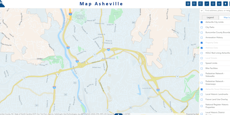
Map Asheville is the City’s GIS Map Viewer with layers and tools to help staff and the public visualize spatial information. The City of Asheville’s GIS team first developed Map Asheville in 2006 and on October 6 we will be launching its third rendition.
Click to read more.

Click to read more.
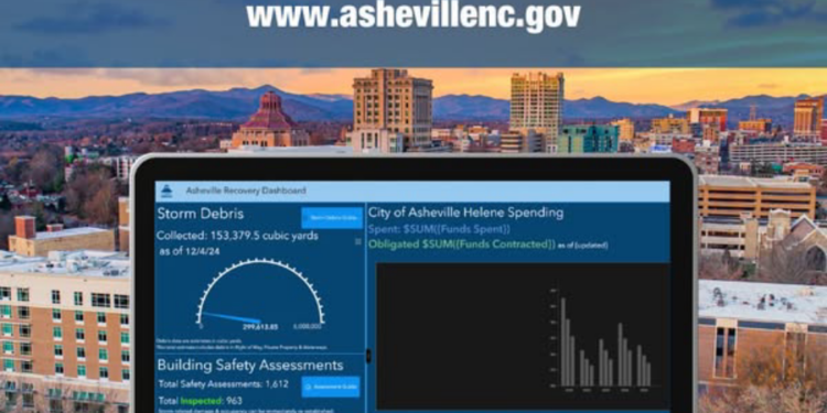
Check out this "how to" video to make the most our the interactive Helene Recovery Dashboard - a tool for you!