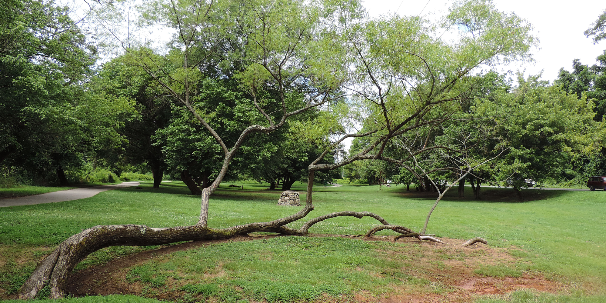
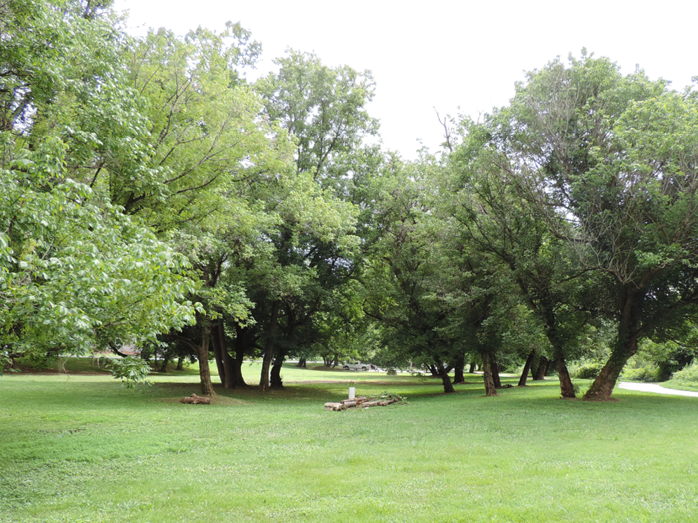
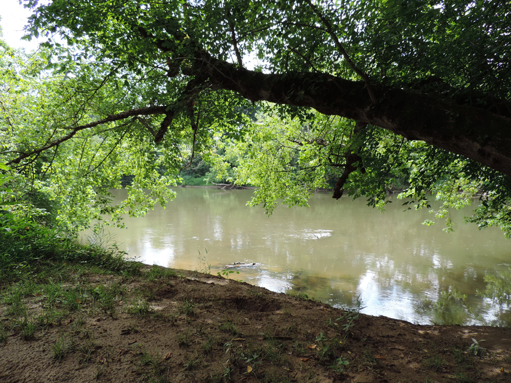
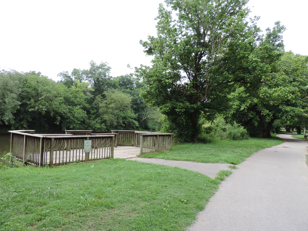
Located off of Amboy Road in West Asheville, the park is a great shady place to walk or enjoy the French Broad River.
Excitement is Building
For the latest on recovery efforts at this location, visit the French Broad Riverfront Parks Recovery project page
Features
- Greenway access
- River access
- Off-street parking lot
- Wheelchair accessible
Parties and Rentals
History
Parks and river walks along Asheville’s urban waterfront increase social equity, drive economic opportunities, and act as adaptable and sustainable infrastructure in the face of climate change. They enhance water quality, prevent flooding, improve air quality, provide vegetative buffers to development, maintain the urban tree canopy, and produce habitats for wildlife while allowing residents places to explore, connect, and discover close to home.
A River Runs Through It
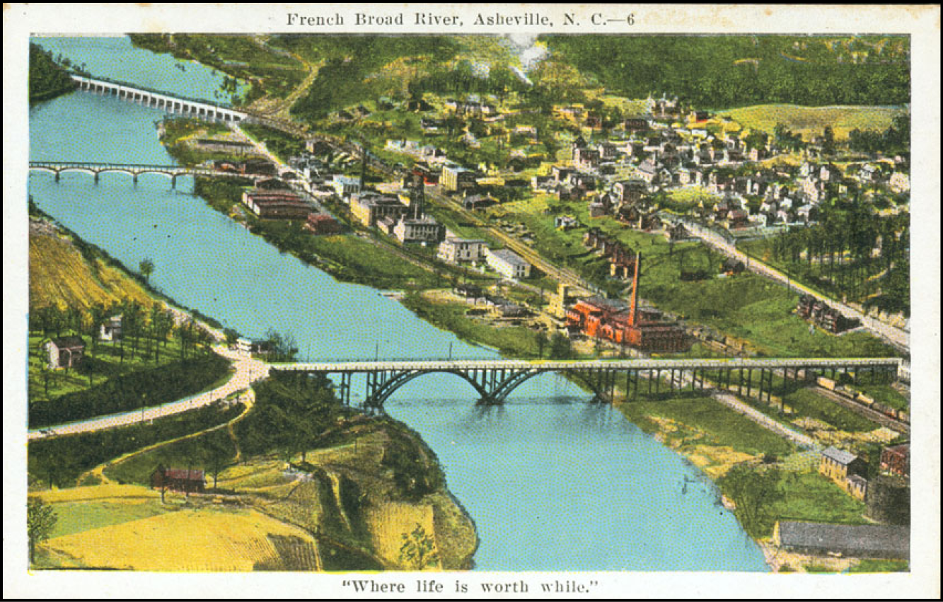 The French Broad and Swannanoa rivers have hosted recreation experiences for thousands of years. ᏙᎩᏯᏍᏗ (Togiyasdi, “the place where they race”) was the name given to the joining of the two rivers by the Cherokee people as they built towns and villages, complete with meeting plazas, hunting grounds, and courts for ball play along the riverbanks. Carrier’s Field and Riverside Park, two of Asheville’s earliest parks, were built on the riverfront in 1892 and 1904.
By the 1950s, population growth and river district industrialization turned the French Broad into an open sewer with floating garbage, landfill seepage, and chemical runoff, documented in Wilma Dykeman’s The French Broad. As the United States Bicentennial approached, interest in cleaning up the French Broad gained support. Buncombe County qualified for federal funds through the Public Works and Economic Development Act of 1965 to expedite the rehabilitation process because the river’s sad state was linked to economic distress and persistent unemployment.
Groups including Quality Forward (predecessor to Asheville GreenWorks) harnessed community members and equipment donated by local industries to clear the French Broad and Swannanoa rivers of numerous car bodies, tires, appliances, and other interesting debris. At the same time, Land of Sky Regional Council used a small grant from Tennessee Valley Authority (TVA) to prepare a riverfront development strategy to support short- and long-term goals.
In the late 1970s, only one riverside park had been developed for public use in Buncombe County, Sandy Bottoms-Bent Creek Park. The lack of public access to the river was a major problem for recreational canoeists, hunters, and people looking to fish. Often, they would find themselves trespassing on private lands to reach the water. Without trash bins and public parking, litter and vandalism was an unfortunate result.
The first French Broad River Recreation Access Plan debuted in 1977 with an emphasis on basic access sites, hiking trails, and public parks, along with streambank stabilization and erosion control. Since that time, Asheville Parks & Recreation (APR) has added large and small parks, greenways, and natural areas along the city’s waterfront.
Amboy Riverfront Park
 French Broad River Park was the first phase of a development plan that included Carrier and Amboy Riverfront parks and French Broad River Greenway. Its immediate popularity led to funds from the City of Asheville and grants from the Pigeon River Fund, North Carolina Department of Environmental Quality, and Federal Highway Administration to develop a nearby riverfront park that would be connected by a trail.
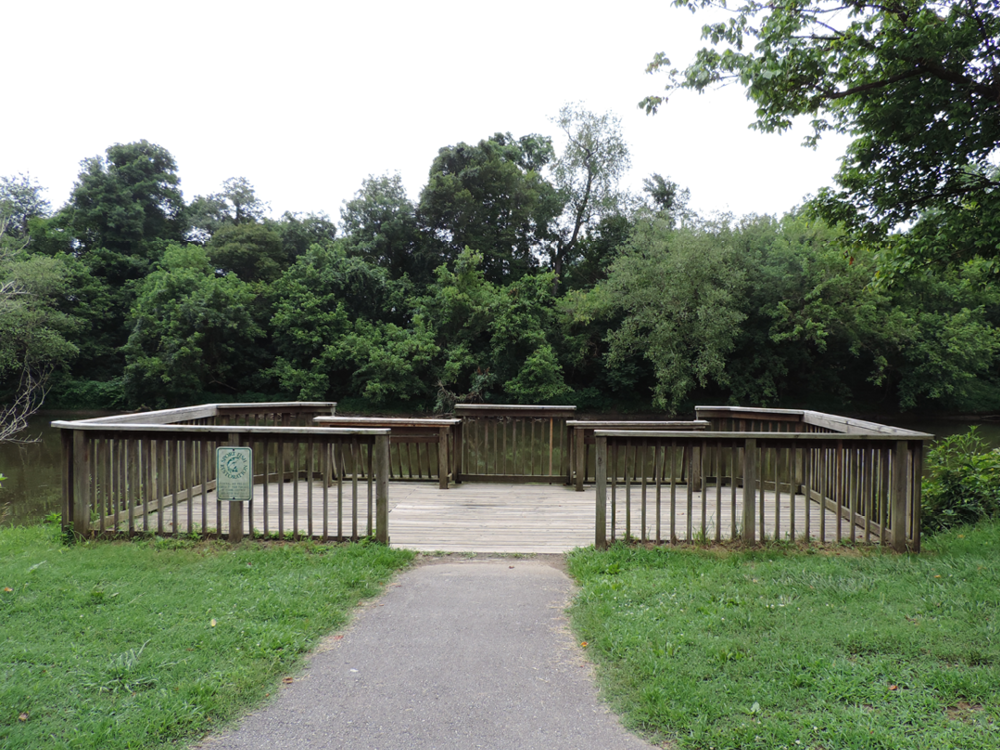
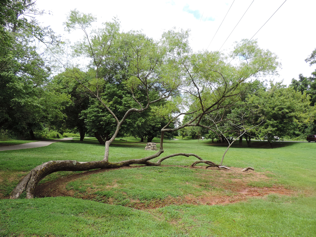
Featuring parking, river overlook and fishing deck, shaded lawn and wetland areas, benches, and a paved greenway that connects to larger parks, Amboy Riverfront Park is a favorite spot for locals looking to register some distance on the way to the nearby off-leash dog park, jump on the greenway, or watch boaters and tubers come down the river.
Do you have photos or stories to share about Jean Webb Park? Please send them to cbubenik@ashevillenc.gov so the City of Asheville can be inspired by the past as we plan our future.
Photo and Image Credits
- An aerial view of French Broad River (c. 1917-1930) shows the old West Asheville Bridge in the foreground with Smith Bridge and Southern Railway Bridge in the background. Craven Street Bridge BAA is south of Smith Bridge. Jean Webb Park is located north, south, and under the old West Asheville Bridge and the iconic chimney from an ice house can still be seen across Riverside Drive. Courtesy of Buncombe County Special Collections, Pack Memorial Public Library, Asheville, North Carolina.
- Amboy Riverfront is a great spot for a picnic, kite flying, or tossing a frisbee. It is located about halfway between French Broad River Greenway’s trailheads at Hominy Creek River Park and the Craven Street-Emma Road intersection, making it a great resting area for those on an out-and-back journey.