
November 19, 2025 is GIS Day, where folks around the world celebrate geographic data and technology. GIS, or Geographic Information Systems, are systems that collect, store, analyze, manage, and present spatial data, or data based on location.
This year, the City of Asheville is celebrating by highlighting several interesting and innovative projects that are great examples of using GIS to help our community.
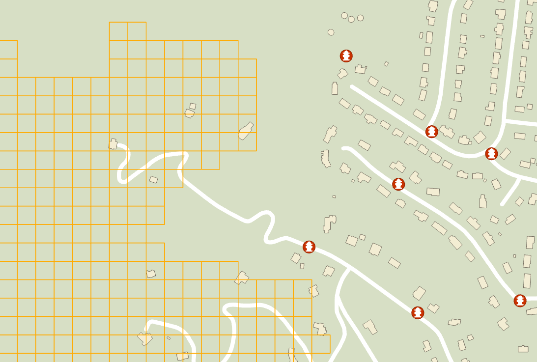
Hydrant Service Areas
The Asheville Fire Department uses GIS as an important tool in event response, strategic planning, resource deployment, and community risk analysis. Recently, Information Technology Services (ITS) GIS staff were asked to help develop a layer that shows areas of the AFD Response District that would be classified as ‘Low Water Risk’. This is defined by how far away from existing fire hydrants the location is as measured along the roadway.
Fire events involving homes or land areas far away from existing hydrants may require the use of Water Tanker trucks to help combat the fire.
Using GIS network analysis tools, the team identified these areas at risk and created a grid layer that could be added to the County’s data system. This layer is now on the Mobile Computer Terminals in AFDs fire trucks. Using this layer, AFD can better plan for, and respond to, fire events that take place in these water risk areas.
The image below shows a Low Water Risk example area, identified by the grid squares. Existing hydrants, streets, and building footprints are also shown.
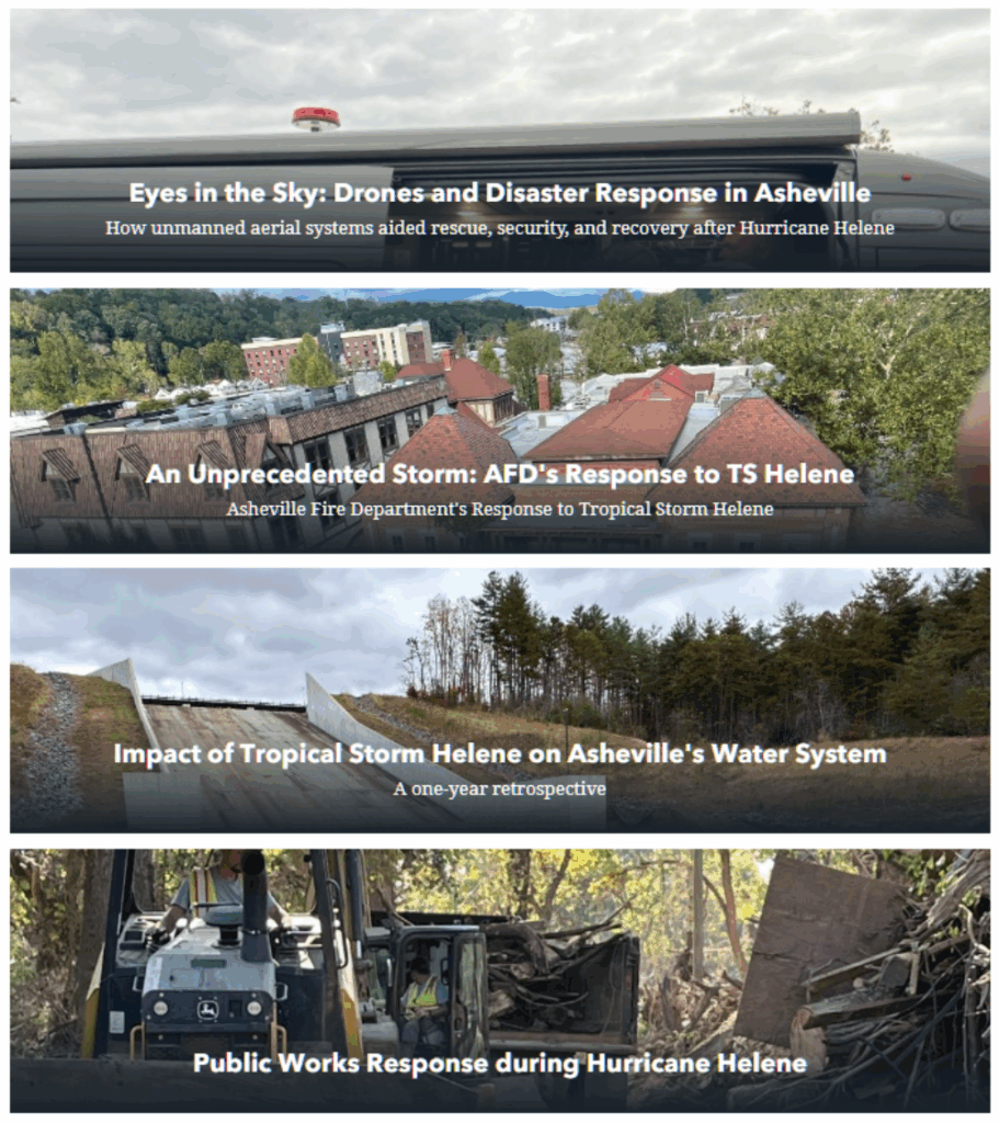
Hurricane Helene
The value of GIS becomes even more apparent during emergencies and large-scale events. GIS was critical to the city’s response and recovery efforts after Hurricane Helene. It provided a dynamic, real-time picture of the situation, enabling city leaders and responders to make rapid, data-driven decisions.
The following stories offer glimpses into some City departments that utilized GIS in their response, highlighting its versatility and essential role in the City’s operations. They cover topics such as drone utilization, debris collection, damage assessments, and search and rescue. Visit the combined Story Map here.
GIS helps our City staff and community members visualize patterns, analyze trends, and make smarter decisions. GIS analysis helps us allocate resources more effectively and equitably while also helping us manage our assets and resources more sustainably, saving both time and money.
If you are interested in learning more about Citywide GIS please reach out to the IT Help Desk or visit: https://www.ashevillenc.gov/service/geographic-information-systems/