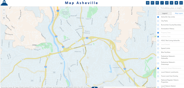
Map Asheville is the City’s GIS Map Viewer with layers and tools to help staff and the public visualize spatial information. The City of Asheville’s GIS team first developed Map Asheville in 2006 and on October 6 we will be launching its third rendition!
Map Asheville will be using the same web link https://avlmap.ashevillenc.gov/ so there’s nothing you need to do differently but if you have any questions or issues please feel free to contact the Help Desk at help@ashevillenc.gov
We’d like to thank the city staff that participated on our testing team Will Palmquist, Daniel Fleer, Bjorn Larson, JM Keupp, Cameron Henshaw, Michael Borrilez, Stephanie Gilliam, Sam Beck II, and Lindsey Huff.
Some new highlights:
- Mobile and tablet versions with the same URL, the map will auto-adjust to your screen size.
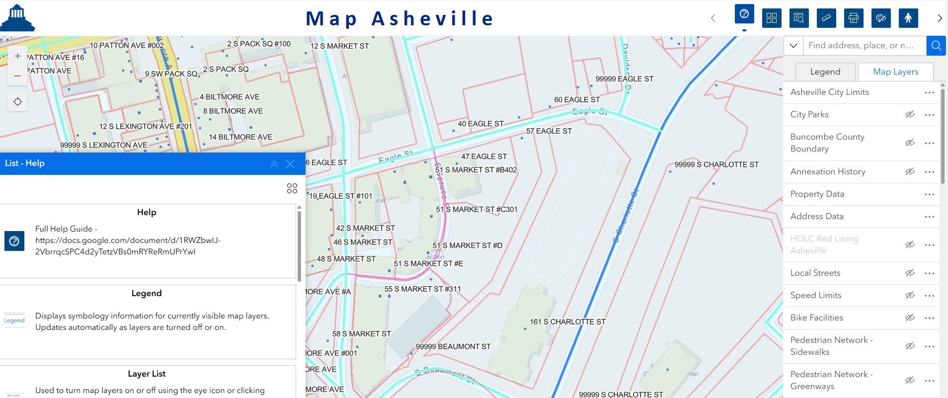
- Streamlined tools that are easier to use and a Help tool embedded in the map that will help users learn how to use the Map tools, like the Near Me buffer tool and the Google Street view widget.
- A Map Legend and Layer List that are pinned to the map layout. Users can search for and turn on and off map layers with the layer list.
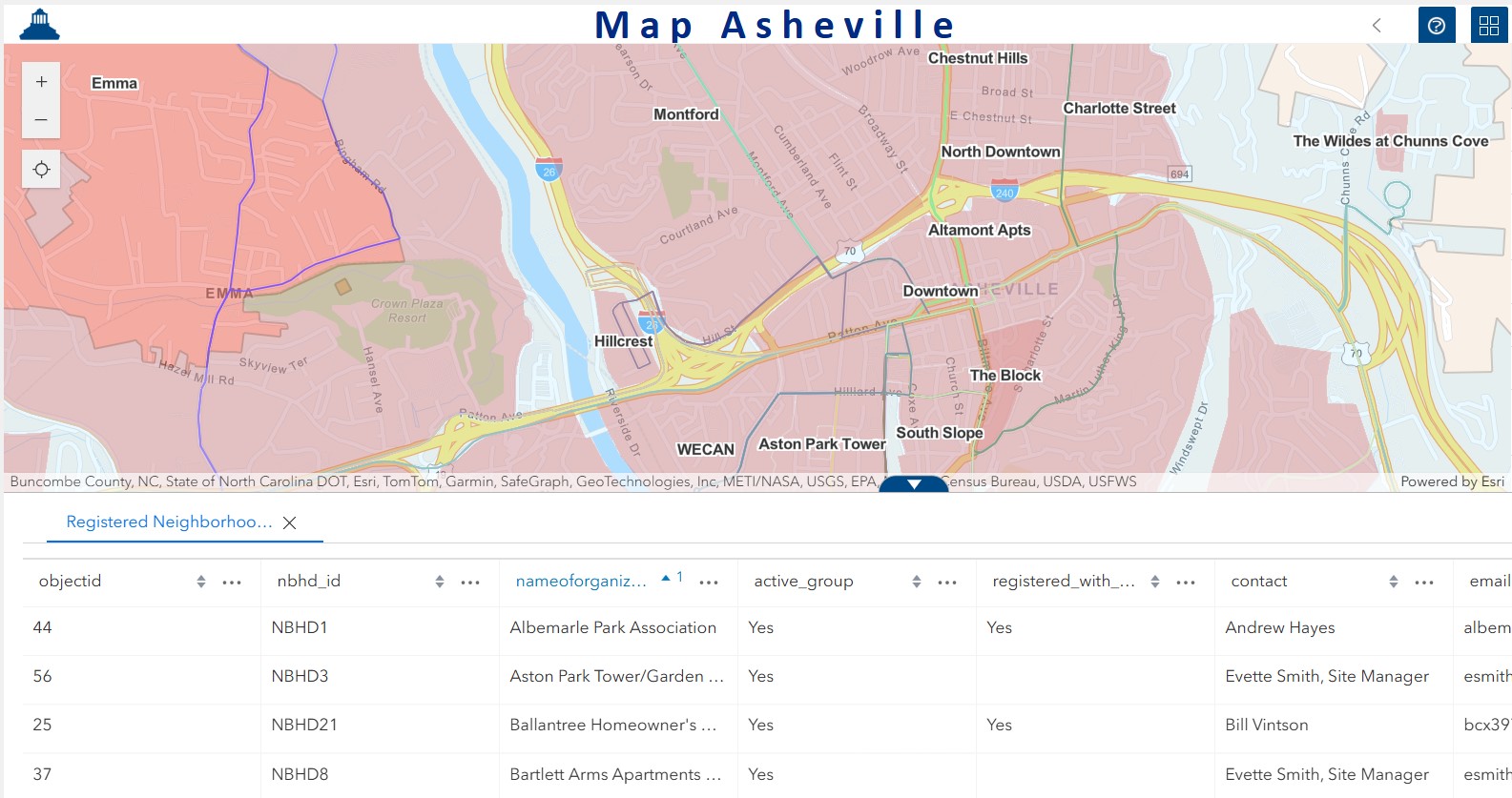
A built in table widget to view data tabularly
View our new Map Asheville Guide to learn more or find Help.