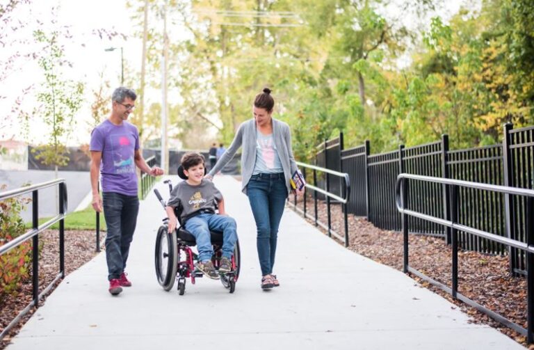
The City of Asheville is in the early stages of a large project to update the City’s Greenway Plan (G), ADA Transition Plan* (A), and Pedestrian Plan (P) (*By ADA transition we are specifically looking at accessibility improvements within the rights-of-way of our street network).
The planning process, known as the “Close the GAP,” will identify a network of pedestrian, greenway, and accessibility networks as well as programs and policies to support it. We combined these plans because the pedestrian network will be a stronger one if the three aspects — greenways, ADA transitions, and pedestrian networks — are planned at the same time.
In the midst of a global pandemic, public engagement techniques usually used at this stage of a planning process cannot be done. Instead, we will begin with an online outreach plan.
Online surveys
As a first step to public engagement, the City of Asheville released two online surveys: one is for gathering information for the Greenway, the ADA Transition in public right-of-way and the pedestrian plans.
The surveys can be found at ashevillenc.gov/closethegap. The surveys will be “live” until Dec. 31.
The first survey is called Close the Gap Survey, available at this link.
The second survey, ADA Transition Plan Survey, is focused on ADA issues. When we say ADA Transition Plan we are referring to spaces in public right-of-way, such as streets, sidewalks and crosswalks.
Once the online surveys are completed, City staff will analyze where there might be low response rates and create new methods to engage the public in those areas of Asheville.